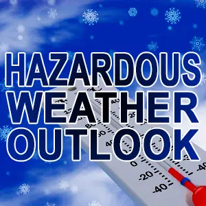
The National Weather Service has issued a Hazardous Weather Outlook for Cass-Champaign-Christian-Clark-Coles-Crawford-Cumberland-De Witt-
Douglas-Edgar-Effingham-Fulton-Jasper-Knox-Logan-Macon-Marshall-Mason-McLean-Menard-Morgan-Moultrie-Peoria-Piatt-Sangamon-
Schuyler-Scott-Shelby-Stark-Tazewell-Vermilion and Woodford counties
*WIND CHILL WARNING IN EFFECT UNTIL NOON CST THURSDAY…
*DAY ONE…THIS AFTERNOON AND TONIGHT… Wind chill readings will range from 25 below to 35 below zero through this afternoon….then will gradually rise to 15 below to 30 below zero by dawn Thursday.
*DAYS TWO THROUGH SEVEN…THURSDAY THROUGH TUESDAY… Subzero wind chills will persist through midday Thursday before rising above zero everywhere south of I-74 by late Thursday afternoon.
Snow will develop Thursday afternoon and evening…then will come to an end by midnight. Snow accumulations of 1 to 2 inches will be possible north of I-74. As the snow ends, a period of light freezing rain will be possible east of the I-55 corridor by late Thursday night.
*SPOTTER INFORMATION STATEMENT… Spotter activation is not anticipated through tonight.


