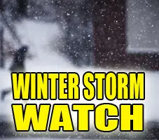
URGENT – WINTER WEATHER MESSAGE
National Weather Service Lincoln IL
332 PM CST Mon Dec 19 2022
WINTER STORM WATCH IN EFFECT FROM THURSDAY EVENING THROUGH LATE FRIDAY NIGHT FOR Piatt-Champaign-Vermilion-Moultrie-Douglas-Coles-Edgar-Shelby-Including the cities of Monticello, Champaign, Urbana, Danville, Sullivan, Tuscola, Charleston, Mattoon, Paris, and Shelbyville.
* WHAT…Blizzard conditions possible. Snow accumulations over 3 inches possible. Winds could gust as high as 50 mph.
* WHERE…Portions of central and east central Illinois.
* WHEN…From Thursday evening through late Friday night.
* IMPACTS…Plan on slippery road conditions. Areas of blowing snow could significantly reduce visibility. The hazardous conditions could impact the morning or evening commute. Gusty winds could bring down tree branches. The cold wind chills Thursday night through Friday night could be as low as 30 below zero and will have the potential of causing frostbite on exposed skin in as little as 30 minutes.
PRECAUTIONARY/PREPAREDNESS ACTIONS… Prepare for possible blizzard conditions. Continue to monitor the latest forecasts for updates on this situation.
&&
$$
Knutsvig


Comments