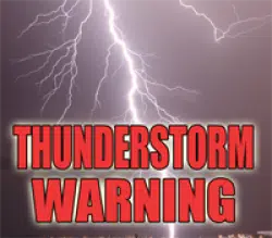
The National Weather Service has issued a Severe Thunderstorm Warning until 4:45 p.m. for the following counties:
Western Coles,
Southeastern Moultrie
Northeastern Shelby
* At 411 PM CDT, a severe thunderstorm was located near Findlay, or 7
miles southwest of Sullivan, moving east at 55 mph.
HAZARD…60 mph wind gusts and quarter size hail.
SOURCE…Radar indicated.
IMPACT…Hail damage to vehicles is expected. Expect wind damage
to roofs, siding, and trees.
* Locations impacted include…
Mattoon, Sullivan, Windsor, Allenville, Cooks Mill, Coles, Gays,
Wolf Creek State Park and Kirksville.
This includes Interstate 57 between mile markers 185 and 186.
PRECAUTIONARY/PREPAREDNESS ACTIONS…
For your protection move to an interior room on the lowest floor of a
building.
Large hail and damaging winds and continuous cloud to ground
lightning is occurring with this storm. Move indoors immediately.
Lightning is one of nature`s leading killers. Remember, if you can
hear thunder, you are close enough to be struck by lightning.
&&
A tornado watch remains in effect until 800 PM CDT for central and
east central Illinois.
$$


