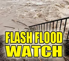
FLASH FLOOD WATCH IN EFFECT THROUGH THURSDAY AFTERNOON… Heavy rainfall is expected over the next 36 hours.
The National Weather Service in Lincoln has issued a Flash Flood Watch for portions of central Illinois, east central Illinois, southeast Illinois, and west central
Illinois, including the following areas, in central Illinois: Christian, De Witt, Logan, Macon, Menard, Piatt, Sangamon, and Shelby. In east central Illinois, Champaign, Clark, Coles, Cumberland, Douglas, Edgar, Moultrie, and Vermilion. In southeast Illinois, Clay, Crawford, Effingham, Jasper, Lawrence, and Richland. In west central Illinois, Cass, Morgan, and Scott.
* Through Thursday afternoon
* Widespread rainfall will shift into the region today, bringing the chance for upwards of 2 inches of rain to the region. This will create the potential for flash flooding on already saturated soils.
* Low lying and poor drainage areas are expected to continue flooding as additional rain falls over the next day and a half. Areas near rivers and streams will also be affected due to the already elevated levels.
PRECAUTIONARY/PREPAREDNESS ACTIONS… A Flash Flood Watch means that conditions may develop that lead to flash flooding. Flash flooding is a VERY DANGEROUS SITUATION.
You should monitor later forecasts and be prepared to take action should Flash Flood Warnings be issued.


