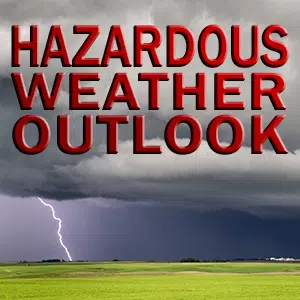
The National Weather Service has issued a Hazardous Weather Outlook is for portions of east central Illinois and southeast Illinois for Clark-Clay-Coles-Crawford-Cumberland-Effingham-Jasper-Lawrence-Moultrie-Richland and Shelby counties
DAY ONE…TODAY AND TONIGHT…
The heat index is expected to reach the mid 90s this afternoon.
Thunderstorms are expected to move into the area early this evening, lingering past midnight. A few of the storms may be strong to locally severe, with damaging winds the main concern.
DAYS TWO THROUGH SEVEN…WEDNESDAY THROUGH MONDAY…
A few storms may linger into Wednesday south of I-70, but these are not expected to be severe.
SPOTTER INFORMATION STATEMENT… Spotter activation may be required this evening, with the most likely time frame between 7 pm and 11 pm.
$$
Geelhart


Comments