Updated 2:17pm, January 23, 2023
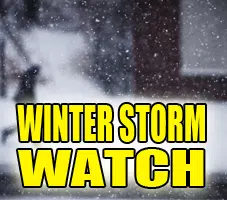
NATIONAL WEATHER SERVICE: WINTER STORM WATCH REMAINS IN EFFECT FROM TUESDAY EVENING THROUGH WEDNESDAY AFTERNOON for Piatt-Champaign-Vermilion-Christian-Macon-Moultrie-Douglas-Coles-Edgar-Shelby-Cumberland-Clark-Effingham-Jasper-Crawford-Clay-Richland-Lawrence counties
* WHAT…Heavy snow possible. Total snow accumulations of 4 to 6 inches, with higher amounts possible.
* WHERE…Portions of central, east central and southeast Illinois.
* WHEN…From Tuesday evening through Wednesday afternoon.
* IMPACTS…Plan on dangerous road conditions. The hazardous weather could impact the morning and evening commutes.
* ADDITIONAL DETAILS…Locations south of I-70 could receive lower accumulations due to a mix of rain and snow if the storm tracks farther north.
PRECAUTIONARY/PREPAREDNESS ACTIONS…
Monitor the latest forecasts for updates on this situation.
Prepare for impacts to the Wednesday morning commute.
&&
$$
Erwin
&&
$$


Comments