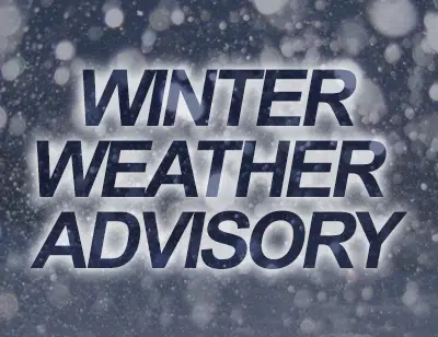
…WINTER WEATHER ADVISORY IN EFFECT FROM 9 PM THIS EVENING TO
9 AM CST SUNDAY.
WHO: Logan-De Witt-Piatt-Champaign-Vermilion-Cass-Menard-Scott-Morgan-
Sangamon-Christian-Macon-Moultrie-Douglas-Coles-Edgar-Shelby-
Cumberland-Clark-Effingham-Jasper-Crawford-Clay-Richland-Lawrence-
Including the cities of Lincoln, Clinton, Monticello, Champaign,
Urbana, Danville, Beardstown, Petersburg, Winchester,
Jacksonville, Springfield, Taylorville, Decatur, Sullivan,
Tuscola, Charleston, Mattoon, Paris, Shelbyville, Greenup,
Marshall, Effingham, Newton, Robinson, Flora, Olney,
and Lawrenceville
* WHAT…Mixed precipitation expected to develop from the
southwest during this evening and continue into mid Sunday
morning. The ice will result in difficult travel conditions.
Total snow accumulations of up to 1 inch north of I-72, and ice
accumulations of up to one tenth of an inch are expected along
and south of I-72.
* WHERE…Portions of central Illinois, east central Illinois,
southeast Illinois and west central Illinois.
* WHEN…9 PM today to 9 AM Sunday.
* ADDITIONAL DETAILS…Be prepared for reduced visibilities in the
snow north of I-72 at times.
PRECAUTIONARY/PREPAREDNESS ACTIONS…
A Winter Weather Advisory means that periods of snow, sleet or
freezing rain will cause travel difficulties. Be prepared for
slippery roads and limited visibilities, and use caution while
driving. The latest road conditions for Illinois can be obtained
by calling 1-800-452-4368.


Comments