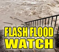
The National Weather Service has issued a FLASH FLOOD WATCH IN EFFECT FROM 7 PM CDT THIS EVENING THROUGH SATURDAY MORNING for Champaign, Coles, Douglas, Edgar, Moultrie Vermilion, Christian, De Witt, Logan, Macon, Marshall, Mason, McLean, Menard, Peoria, Piatt, Sangamon, Shelby, Stark, Tazewell, Woodford, Cass, Fulton, Knox, Morgan, Schuyler and Scott counties
* From 7 PM CDT this evening through Saturday morning
* Several rounds of heavy rainfall are expected over the next 36 hours across most of central Illinois as a slow moving boundary sinks south across the area. 3 to 5 inches is expected from tonight through Saturday morning with some higher amounts possible from heavier storms. Where the ground becomes saturated, flash flooding will become more likely, especially in low-lying and flood prone area.
* Excessive runoff will cause small rivers, creeks and streams to rise out of their banks quickly. Rises along major rivers are also likely.
*PRECAUTIONARY/PREPAREDNESS ACTIONS… A Flash Flood Watch means that conditions may develop that lead to Flash Flooding. Flash Flooding is a very dangerous situation. You should monitor later forecasts and be prepared to take action should Flash Flood Warnings be issued.
Do not enter or cross flowing water or water of unknown depth. Stay away or be swept away. River banks and culverts can become unstable and unsafe.
&&
$$
Auten


Comments